Photo to come: the Triund ridge
Triund
- region
- Kangra, Himachal Pradesh
- high point
- about 2,850m
Loading
I trek solo and self-supported. My own tent, my own stove, my own food, and my own decision about when the weather says no. That has meant trails across Himachal and Uttarakhand, a winter climb to 5,000 m in Sikkim, and the Annapurna Circuit: 250 km in 14 days with an 18 kg pack, over Thorong La at 5,416 m.
Going alone isn't about proving anything. It's the quietest place I know. Every decision is mine and so is every mistake, which is an honest way to learn how I think under pressure.
done plannedSelect a pin for its journal entry.
I walked the Annapurna Circuit alone: 14 days, 250 km, an 18 kg pack with everything I needed. I started in the green, low valleys at Besisahar and made camp at Khudi, Dharapani and Chame as the forest thinned into rock. I added two side climbs for acclimatisation and for the view: Ice Lake, then Tilicho Lake at about 4,919 m, through landslide country to one of the highest lakes in the world.
| Waypoint | Altitude |
|---|---|
| Besisahar | ~760 m |
| Khudi | ~790 m |
| Bhulbhule | ~840 m |
| Ngadi | ~930 m |
| Bahundanda | ~1,310 m |
| Syange | ~1,100 m |
| Tal | ~1,700 m |
| Dharapani | ~1,860 m |
| Danagyu | ~2,300 m |
| Timang | ~2,750 m |
| Koto | ~2,600 m |
| Chame | ~2,670 m |
| Bhratang | ~2,850 m |
| Dhikur Pokhari | ~3,060 m |
| Pisang | ~3,200 m |
| Humde | ~3,330 m |
| Mungji | Not recorded |
| Blue Lake | Not recorded |
| Green Lake | Not recorded |
| Ice Lake | Not recorded |
| Braka | ~3,450 m |
| Manang | ~3,540 m |
| Khangsar | ~3,730 m |
| Shri Kharka | ~4,060 m |
| Tilicho Base Camp | ~4,150 m |
| Tilicho Lake | ~4,919 m |
| Yak Kharka | ~4,050 m |
| Churi Ledar | ~4,200 m |
| Thorong Phedi | ~4,450 m |
| Thorong High Camp | ~4,880 m |
| Thorong La | 5,416 m |
| Chongur | Not recorded |
| Muktinath | ~3,760 m |
Photo to come: my best mountain photo
Photo to come: me at the Thorong La sign
Photo to come: Tilicho Lake
Photo to come: Ice Lake above Manang
Photo to come: my tent at a camp
Kun Tso starts where the road gives up: Zero Point at Yumesamdong, 4,600 m, in the North Sikkim Himalayas. On paper, 400 m of gain to 5,000 m is a short day. In winter it isn't. Fresh snow came up to my waist, the wind was well below zero, and my boots started letting the cold in, so I wrapped them in duct tape and kept going.
| Waypoint | Altitude |
|---|---|
| Zero Point, Yumesamdong | 4,600 m |
| Kun Tso | 5,000 m |
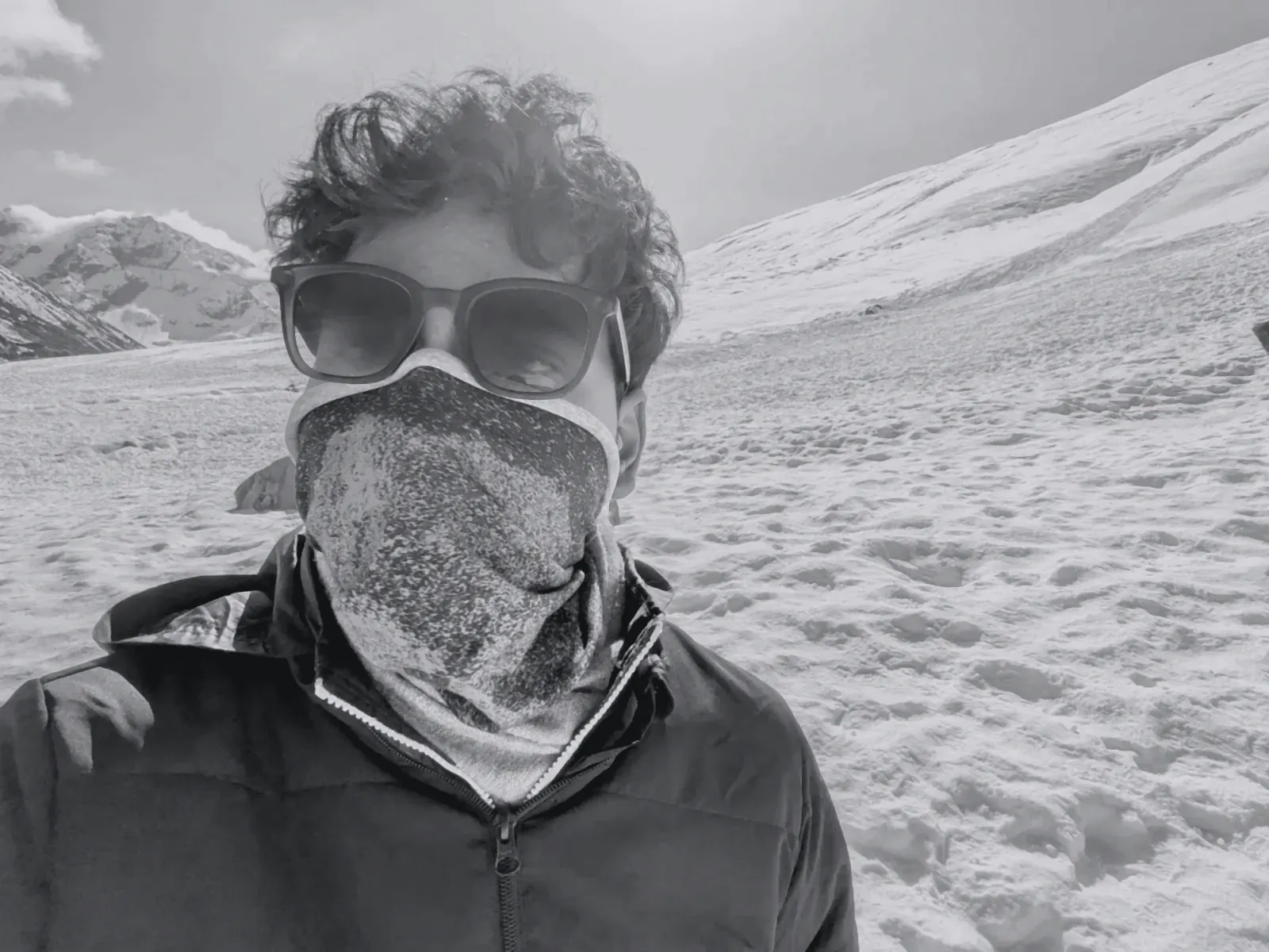
Aman in snow goggles and a neck gaiter, North Sikkim in winter (toned)
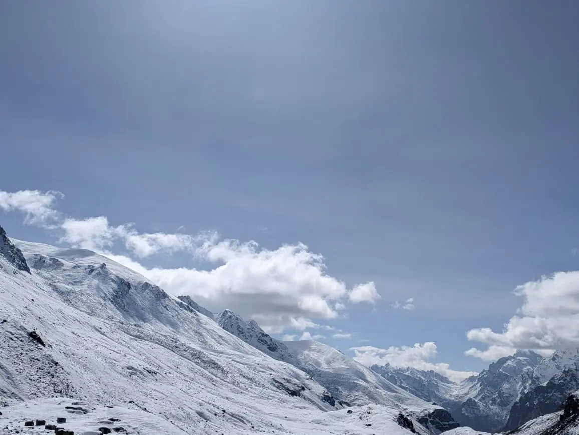
A snowfield under high cloud, North Sikkim in winter
Photo to come: the frozen lake at Kun Tso
Photo to come: my duct-taped boots
My most recent trek, done alone. I started at Deoriatal, crossed the high meadows of Rohini Bugyal, came down to Chopta and climbed to the summit of Chandrashila.
Entry coming.
| Waypoint | Altitude |
|---|---|
| Deoriatal | ~2,438 m |
| Rohini Bugyal | Not recorded |
| Chopta | ~2,680 m |
| Tungnath | ~3,680 m |
| Chandrashila | ~4,000 m |
Photo to come: the view from Chandrashila
Photo to come: Deoriatal at dawn
Photo to come: my tent on Rohini Bugyal
Photo to come: the Triund ridge
Photo to come: Kheerganga
Photo to come: the Yulla Kanda lake
Next I'm heading to Dodital, a lake in the forests above Uttarkashi, and on to Darwa Top. Journal entries when I'm back.
Shelter, kitchen, food, clothing, water treatment, navigation, first aid.
Diagram of what the pack carries, by category.
Photo to come: the 18 kg pack, laid out
Trip reports, build logs and the occasional how-to.
Photo to come: my best mountain photo
Fourteen days, an 18 kg pack and Thorong La at 5,416 m.
From Zero Point at 4,600 m through waist-deep snow in North Sikkim.
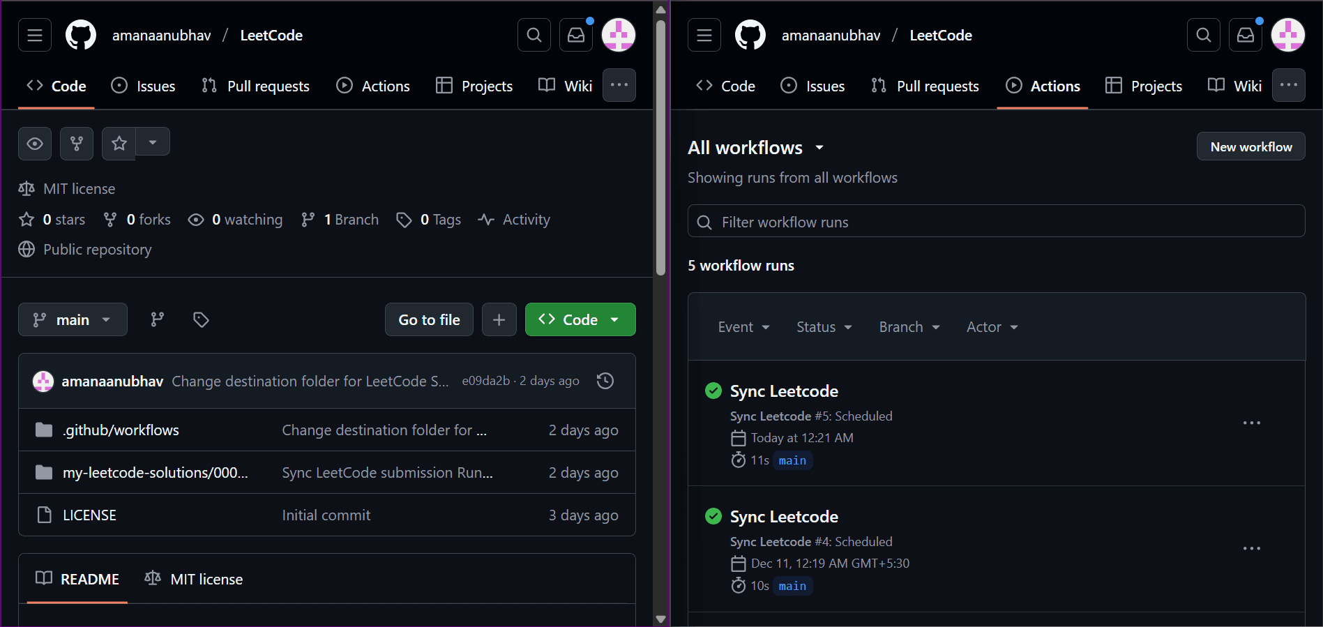
A small GitHub Actions workflow that archives every accepted solution, every night.